Grocott's Mail
    Facebook Twitter Instagram
    Friday, May 16
    Facebook Twitter Instagram
    Grocott's Mail
    • NEWS
      • Courts & Crime
      • Features
      • Politics
      • People
      • Health & Well-being
    • SPORT
      • News
      • Results
      • Sports Diary
      • Club Contacts
      • Columns
      • Sport Galleries
      • Sport Videos
    • OPINION
      • Election Connection
      • Makana Voices
      • Deur ‘n Gekleurde Bril
      • Newtown… Old Eyes
      • Incisive View
      • Your Say
    • ARTSLIFE
      • Cue
        • Cue Archives
      • Makana Sharp!
      • Visual Art
      • Literature
      • Food
      • Festivals
      • Community Arts
      • Going Places
    • OUR TOWN
      • What’s on
      • Spiritual
      • Emergency & Well-being
      • Covid-19
      • Safety
      • Civic
      • Municipality
      • Weather
      • Properties
        • Grahamstown Properties
      • Your Town, Our Town
    • OUTSIDE
      • Enviro News
      • Gardening
      • Farming
      • Science
      • Conservation
      • Motoring
      • Pets/Animals
    • ECONOMIX
      • Business News
      • Entrepreneurship
      • Personal Finance
    • EDUCATION
      • Education NEWS
      • Education OUR TOWN
      • Education INFO
    • EDITORIAL
    Grocott's Mail
    You are at:Home»NEWS»Damaging winds expected on Thursday
    NEWS

    Damaging winds expected on Thursday

    Staff ReporterBy Staff ReporterJuly 7, 2020No Comments2 Mins Read
    Facebook Twitter Pinterest LinkedIn Tumblr Email
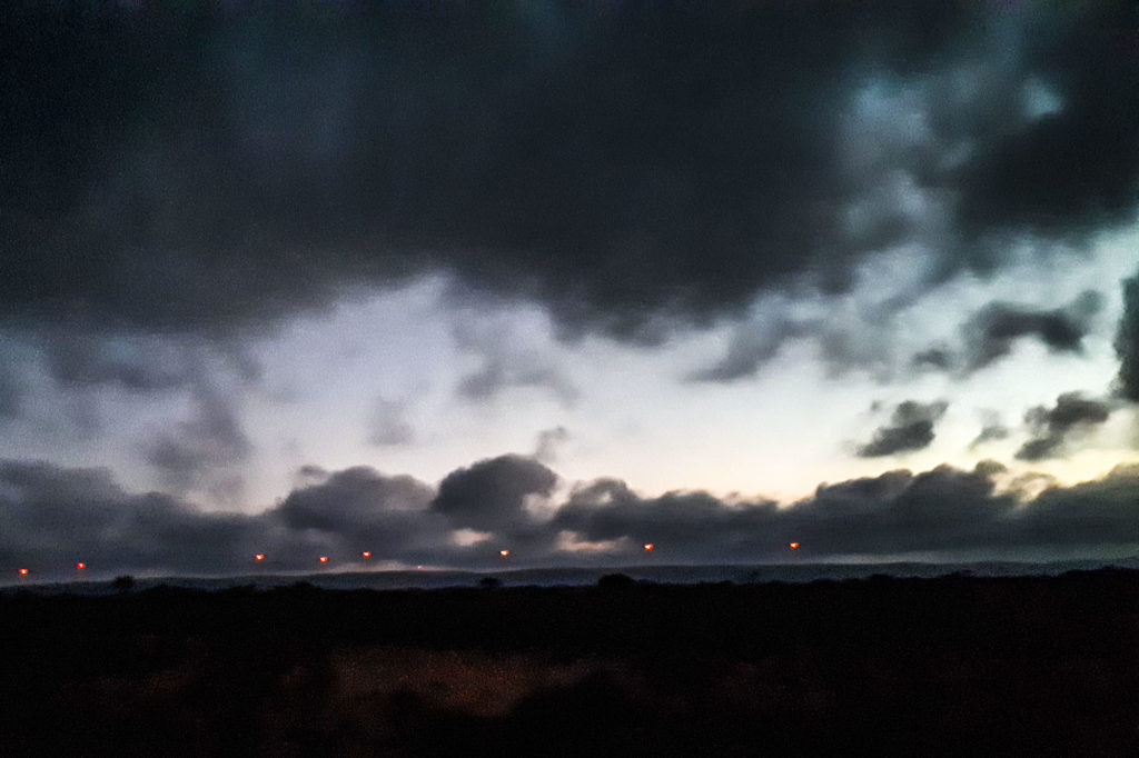
    Clouds and wind turbines on Makhanda's horizon. Photo: Alex Oosthuizen

    The South African Weather Service has warned of gale force winds on Thursday 9 July ahead of a cold front that may bring snow to mountains in the Eastern Cape.

    The warning is for the Sarah Baartman District, Chris Hani District, Joe Gqabi District, Nxuba (LM) and Nkonkobe (LM), said Garth Sampson of the Service’s Port Elizabeth office.

    “There is a medium likelihood of significant impacts to occur over the western and central parts of the Eastern Cape interior from Thursday morning to moderating in the afternoon due to damaging winds,” Sampson said.

    “A cold front will make landfall on Thursday and is expected to pass through the Eastern Cape on Friday.

    “Ahead of the frontal system, strong to gale force west-north-westerly winds are expected in places over the interior of the Eastern Cape on Thursday with average wind speed between 55km/h and 65km/h. Gusts are expected to reach at least 80km/h.

    A cold front was expected to pass over this region on Friday, Sampson said.

    “Ahead of the frontal system, we expect strong to gale force winds over the interior on Thursday through to Friday.”

    Light showers are expected on Friday with some snowfalls on high lying ground from Friday night onwards.

    “Small stock farmers should take the necessary precautions,” Sampson said.

    At this stage no promising rainfall is expected in the catchment areas.

    Possible impacts
    • Injuries and danger to life from flying debris.
    • The winds can damage formal and informal settlements and temporary structures.
    • Large areas of runaway fires can be expected.
    • Communication and power services can be interrupted.
    • Transport routes and travel services can be affected by wind and falling trees leading to longer journey times.
    Previous ArticleRhodes welcomes first group of returning students
    Next Article Bank to stop issuing cheques
    Staff Reporter
    • Website

    Comments are closed.

    Code of Ethics and Conduct
    GROCOTT’S SUBSCRIPTION
    RMR
    Listen to RMR


    Humans of Makhanda

    Humans of Makhanda

    Weather    |     About     |     Advertise     |     Subscribe     |     Contact     |     Support Grocott’s Mail

    © 2025 Maintained by School of Journalism & Media Studies.

    Type above and press Enter to search. Press Esc to cancel.